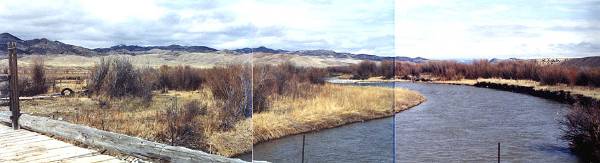
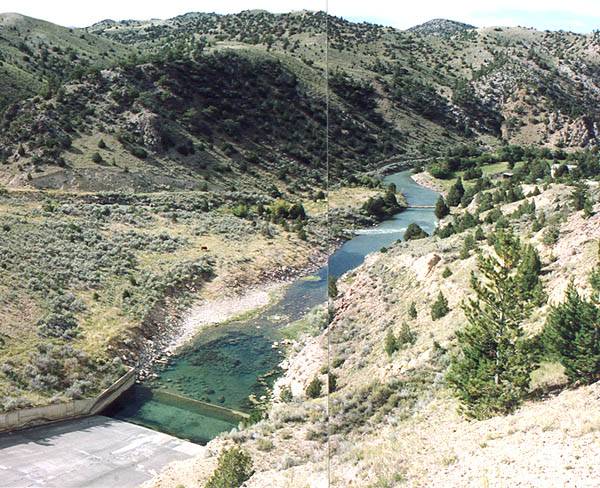
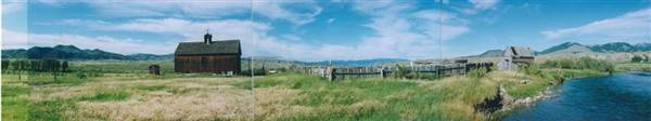
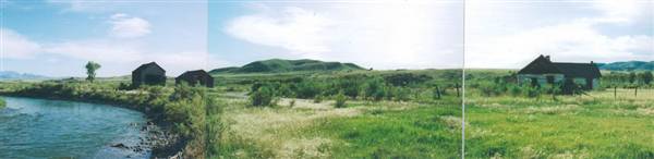
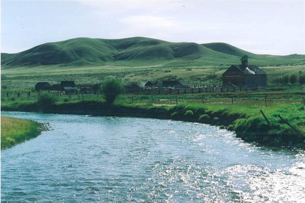
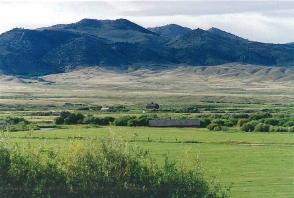
The Ruby River is a tributary of the Beaverhead River, approximately 76 mi (122 km) long, in southwestern Montana in the United States. It rises in the Beaverhead National Forest in southwestern Madison County, between the Snowcrest Range and the Gravelly Range. It flows north through the Ruby River Reservoir, past Alder, then northwest, flowing between the Tobacco Root Mountains to the northeast and the Ruby Range to the southwest. It joins the Beaverhead near Twin Bridges. The Beaverhead becomes the Jefferson River 2 mi (3.2 km) downstream where it joins the Big Hole River.
(http://en.wikipedia.org/wiki/Ruby_River)
Location Category
Lakes / Rivers
General
Landscapes
General
Landscapes
Canyons / Ravines
Address
City
ALDER
Zip/Postal Code
59710
State/County
MT
Area
Upper Ruby Rd
Country
US
Disclaimer
All data, information, and maps are provided "as is" without warranty or any representation of accuracy, timeliness or completeness. The content of the information is solely dependent on the location owner/contact and no warranties, express or implied, as to the use of the information are obtained here. The requestor acknowledges and accepts all limitations, including the fact that the data, information, and maps are dynamic and in a constant state of maintenance, correction and update.