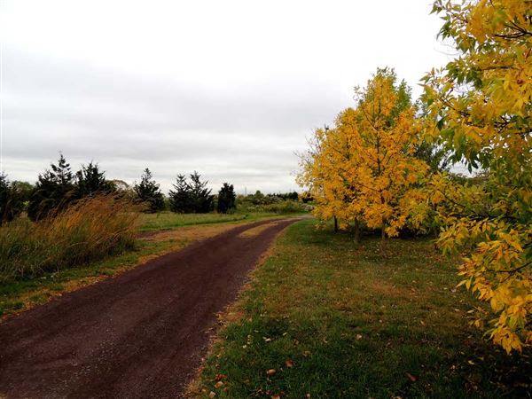
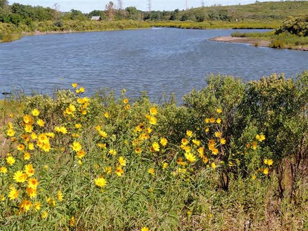
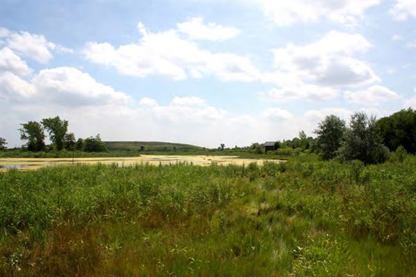
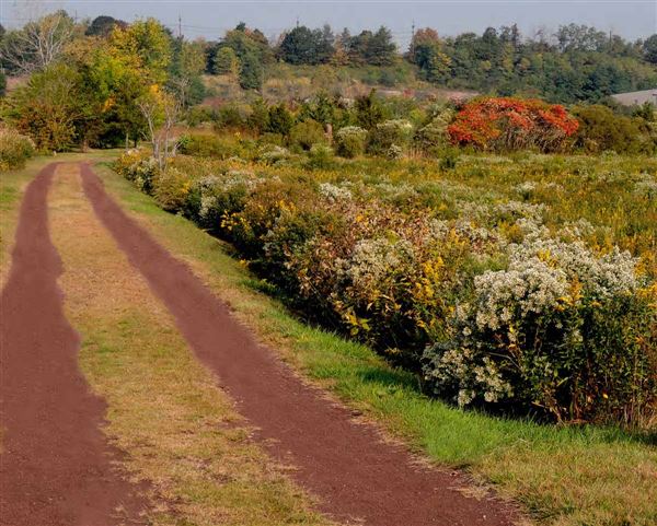
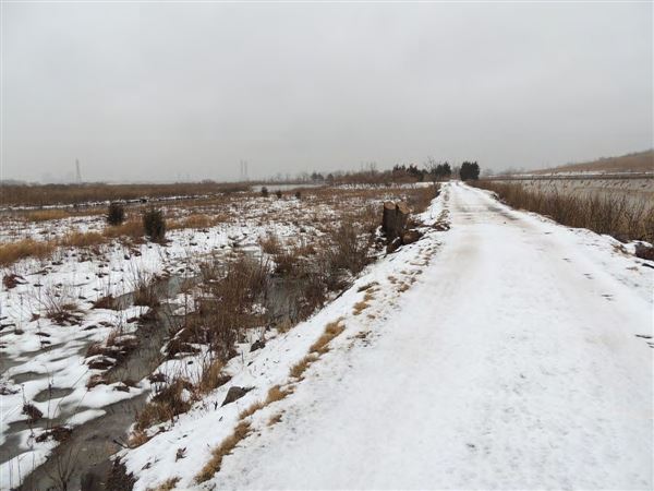
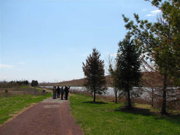
The 69-acre Harrier Meadow wetland enhancement site is located within the Saw Mill Creek basin. The former NJMC acquired the property in 1996. Harrier Meadow was initially part of a much larger marsh system influenced by the Kingsland and Sawmill creeks. The wetland has been cut off from full tidal inundation due to the construction of the Transco pipeline and the New Jersey Turnpike Western Spur. In the 1960’s, Harrier Meadow was the disposal site for shot rock from the construction of US Route 280. The location of Harrier Meadow lies in the shadow of the 85-foot ridge of exposed red shale to the west that stretches from North Arlington to Lyndhurst.
Location Category
Agriculture
General
Agriculture
Fields, Pastures, Meadows
Lakes / Rivers
General
Lakes / Rivers
Swamp / Marsh / Lagoon
Parks
General
Parks
Nature / Trails / Bike
Parks
Nature Preserves
Address
City
North Arlington
Zip/Postal Code
State/County
NJ
Area
Harrier Meadow
Country
US
Disclaimer
All data, information, and maps are provided "as is" without warranty or any representation of accuracy, timeliness or completeness. The content of the information is solely dependent on the location owner/contact and no warranties, express or implied, as to the use of the information are obtained here. The requestor acknowledges and accepts all limitations, including the fact that the data, information, and maps are dynamic and in a constant state of maintenance, correction and update.