Square Butte (5-11-17)
SQUARE BUTTE, MT, US / MT


Location Description
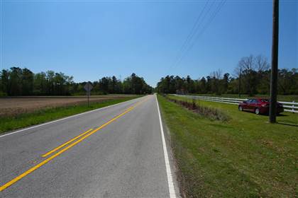
Square Butte is located midway between Stanford and Fort Benton on scenic Highway 80. In Square Butte, view the historic jail, located at the west end of town, it was built from shonkinite quarried locally. The town gets its name from a nearby geologic formation a flat-topped butte which juts 2,400 feet above the surrounding plains and is visible for a radius of seventy-five miles. With its soaring buttresses, spires, and pinnacles it is a compelling and imposing site. Stop and visit the Square Butte Bar and Country Club featuring burgers and steaks. Square Butte also forms a unique and easily visible landmark on the horizon. It is visible from Montana Highway 3 between Geyser and Stanford, Montana. It is also visible from Montana Highway 80 between Stanford and Geraldine, Montana, which passes just to the east of the butte.[2] The small almost dormant town of Square Butte, Montana lies just at the base of the Chouteau County butte, on Montana Highway 80. About 4 miles (6.4 km) to the west of Square Butte is a smaller feature, Round Butte.
Location Category
- AGRICULTURE - [general]
- AGRICULTURE - Barns & Silos
- CITIES / TOWNS - [general]
- CITIES / TOWNS - Downtowns
- CITIES / TOWNS - Small Towns
- CITIES / TOWNS - Western / Ghost Towns
- PRISONS / JAILS - [general]
- PRISONS / JAILS - City / County Jails
- PRISONS / JAILS - Period Prisons / Historic
Architecture Style
- 1800s / Civil War
- 1920s - 1930s