The Ipswich River
Ipswich, MA, US / MA
The Ipswich River
Location Description
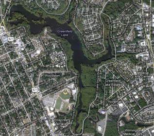
Ipswich River is a small river in northeastern Massachusetts, United States, mighty in importance in early colonial migrations inland from the ocean port of Ipswich which could provide safe harborage in offshore Plum Island Sound to early Massachusetts subsistence farmers who doubled often as fishermen. A part of the river forms town boundaries and divides Essex County, Massachusetts on the coast from the more inland Middlesex County.[1] It is 35 miles (56 km) long,[2] and its watershed is approximately 155 square miles (401 km2), with an estimated population in the area of 160,000 people.[3] Historically, the settlement of Essex County began at the oldest community there, the tiny seaport of Agawam (later renamed Ipswich), and typically proceeded westward and northward along the Ipswich or its tributary creeks. When Middlesex County was formed in the Massachusetts Bay Colony, only Salem and Charlestown across the Charles River mouth and Boston harbor's inner estuary from Boston's much smaller hill dominated peninsula were older settlements.
Location Category
- LAKES / RIVERS - [general]
- LAKES / RIVERS - Lakes / Reservoirs
- LAKES / RIVERS - Ponds / Fishing Holes
- LAKES / RIVERS - Rivers
- LANDSCAPES - [general]
- LANDSCAPES - Forests / Wilderness
Disclaimer: All data, information, and maps are provided "as is" without warranty or any representation of accuracy, timeliness or completeness. The content of the information is solely dependent on the location owner/contact and no warranties, express or implied, as to the use of the information are obtained here. The requestor acknowledges and accepts all limitations, including the fact that the data, information, and maps are dynamic and in a constant state of maintenance, correction and update.


